
 Village treks · Vietnam · Laos · Cambodia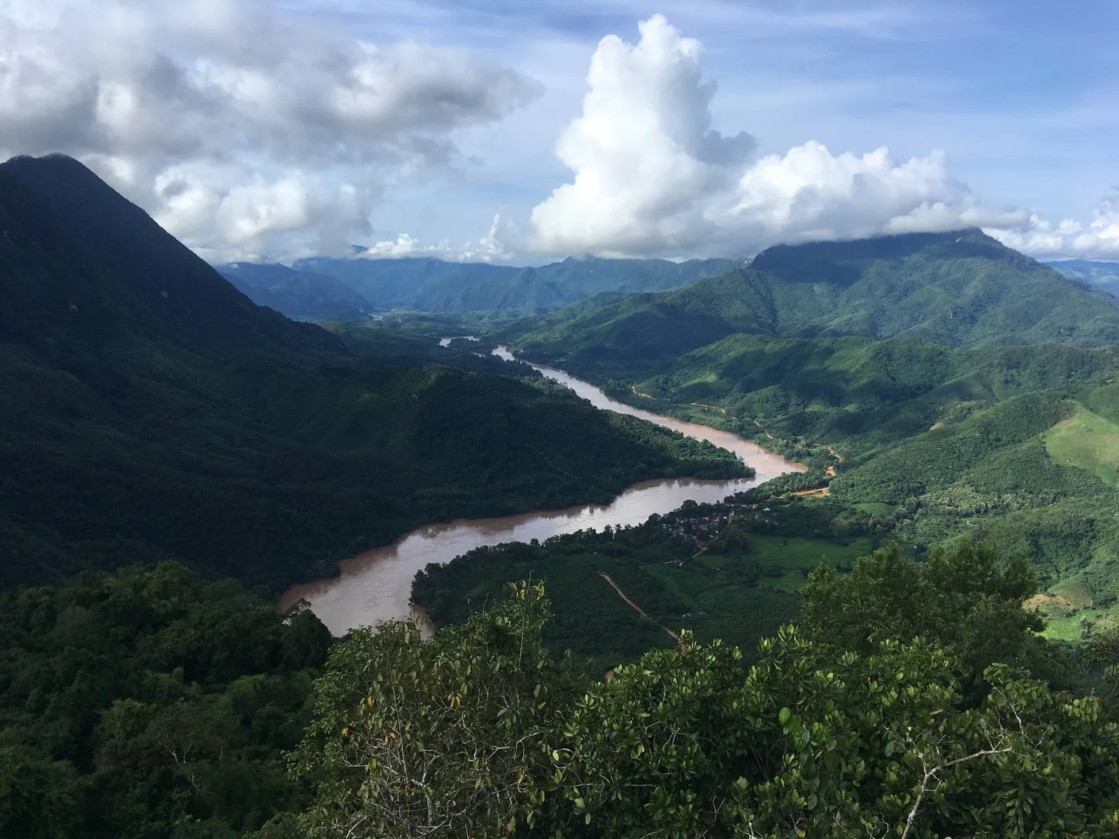
Regions
Where we trek
Six hill and forest regions across three countries. What each one is like on foot, how high, how wet, and which of our treks goes there.
The regions at a glance
| Region | Country | Terrain | Reference height | Wettest months | Our trek |
|---|---|---|---|---|---|
| Sa Pa | Vietnam | farmed valleys below high mountains | town about 1,600 m | Jul–Aug | 4 days |
| Ha Giang (Hoang Su Phi) | Vietnam | earth hills cut into terraces | villages about 1,200 m | Jul–Aug | 5 days |
| Pu Luong & Mai Chau | Vietnam | limestone ridges, terraces, valley | reserve 60–1,667 m | Jul–Aug | 4 days |
| Luang Namtha (Nam Ha) | Laos | forested ridges | town 552 m; peaks to 2,094 m | Jul–Aug | 3 days |
| Phongsaly | Laos | high ridges, tea, villages | town about 1,300 m | summer months | on request |
| Mondulkiri | Cambodia | lowland forest, grass hills | low plateau | Jun–Oct, peak Aug | 3 days |
Reference heights are for the town or villages named, from the sources on each region's page. They are not the highest point you walk to. For the walking itself, kilometres and climb per day, see the route table.
Northern Vietnam: three different kinds of hill
Sa Pa is the easiest to reach and the most visited. The town is built up; the valleys below it are still farmed by Hmong, Dao, Tay and Giay families, and the Hoang Lien range above holds Vietnam's highest mountain. Trekking here means valley paths and terrace edges with a road never far away.
Ha Giang is two regions under one name. The east is the Dong Van karst plateau, a UNESCO Global Geopark crossed mostly by road. The west is Hoang Su Phi, terraced earth hills against the Chinese border, where we trek. Since July 2025 the whole area belongs to Tuyen Quang province.
Pu Luong is lower and closer to Hanoi: a nature reserve of 17,662 hectares in Thanh Hoa, limestone ridges above Thai villages. We pair it with Mai Chau's flat valley next door, now in Phu Tho province.
Northern Laos: forest and long roads
Luang Namtha is the base for the Nam Ha protected area, where village-guided trekking has run since the UNESCO-backed project of 1999. The town has an airport 6 km to the south and is reachable by the Laos–China railway via Na Teuy station.
Phongsaly, further north, is a town at about 1,300 metres with a mean annual temperature of around 20 °C, surrounded by ridges and villages. It is excellent walking country, but reaching it takes a long day by road or river from the nearest railway or airport. We plan treks there on request, for travellers with at least a week in northern Laos, and do not sell a fixed short trek.
Eastern Cambodia: Mondulkiri
Mondulkiri is the one lowland region on our list. Our trek uses a community forest camp in Keo Seima Wildlife Sanctuary, run with Bunong guides, rather than a family homestay. It is not a terraces trip; it is a forest and wildlife trip, and the heat is the main challenge. Read the Mondulkiri trek page for details.
Sources: Sa Pa climate table (Vietnam Institute for Building Science), via Wikipedia; Dong Van Karst Plateau Geopark, Wikipedia; Viet Nam News, new names for 34 provinces, 14 Apr 2025; Protected areas sourcebook of Vietnam, Pu Luong (2004); Nam Ha National Protected Area, Wikipedia; Phongsaly, Wikipedia; Keo Seima Wildlife Sanctuary, Wikipedia; Sen Monorom climate table, Wikipedia · checked .
Choosing a region by month
If your dates are fixed, the month decides more than the region. September to November is the window across northern Vietnam; November to February suits Laos and Mondulkiri; July and August are wet everywhere. The trekking seasons page has the month-by-month chart.
Plan My Trip
Not sure where to go?
Tell us your month and how far you like to walk. We reply with the region that fits.
Common questions
Questions travellers ask most
Which region is least visited?
Of the regions where we run fixed treks, Hoang Su Phi sees the fewest foreign walkers. Phongsaly sees fewer still, but we only plan it on request.
Which region is closest to Hanoi?
Mai Chau and Pu Luong. Sa Pa is about 250 km from Hanoi and Hoang Su Phi about 300 km.
Can we trek in Vietnam and Laos on one trip?
Yes, but allow for travel days between them. There are few direct connections between the Vietnamese and Lao trekking areas.
Related
Read next
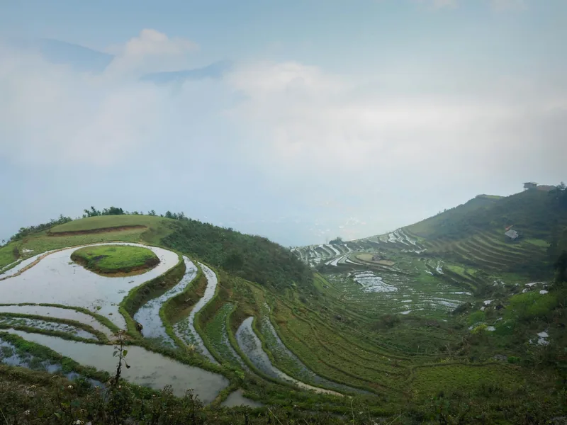
Regions · Vietnam
Sa Pa
Sa Pa for walkers: the valleys, the seasons, the costs.
View journey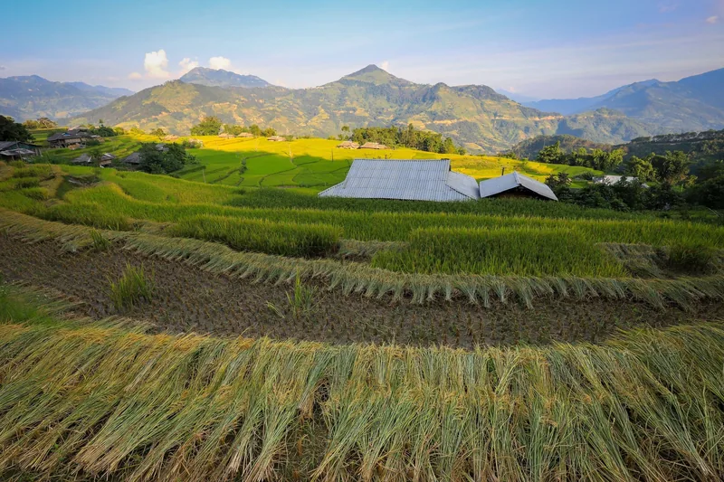
Regions · Vietnam
Ha Giang
Ha Giang for walkers: Hoang Su Phi's terraces, seasons, permits.
View journey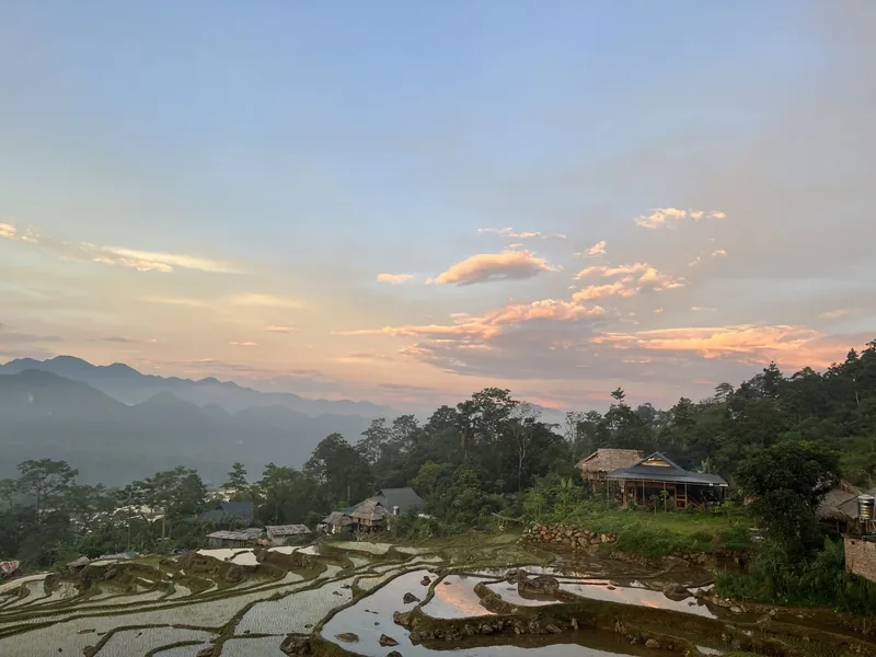
Regions · Vietnam
Pu Luong & Mai Chau
Pu Luong and Mai Chau for walkers: reserve, villages, seasons, costs.
View journey
Regions · Laos
Luang Namtha
Luang Namtha for walkers: Nam Ha, access, seasons, costs.
View journey
Treks
Treks
All five treks in one table, with grades, days and village nights.
View journey
Plan · Seasons
Trekking seasons
Month-by-month trekking conditions in every region we walk.
View journey
Start planning
Tell us about the trip you have in mind
Dates, party size and the places you care about are enough to start. You get a draft route and an indicative price, not a brochure.