
 Village treks · Vietnam · Laos · Cambodia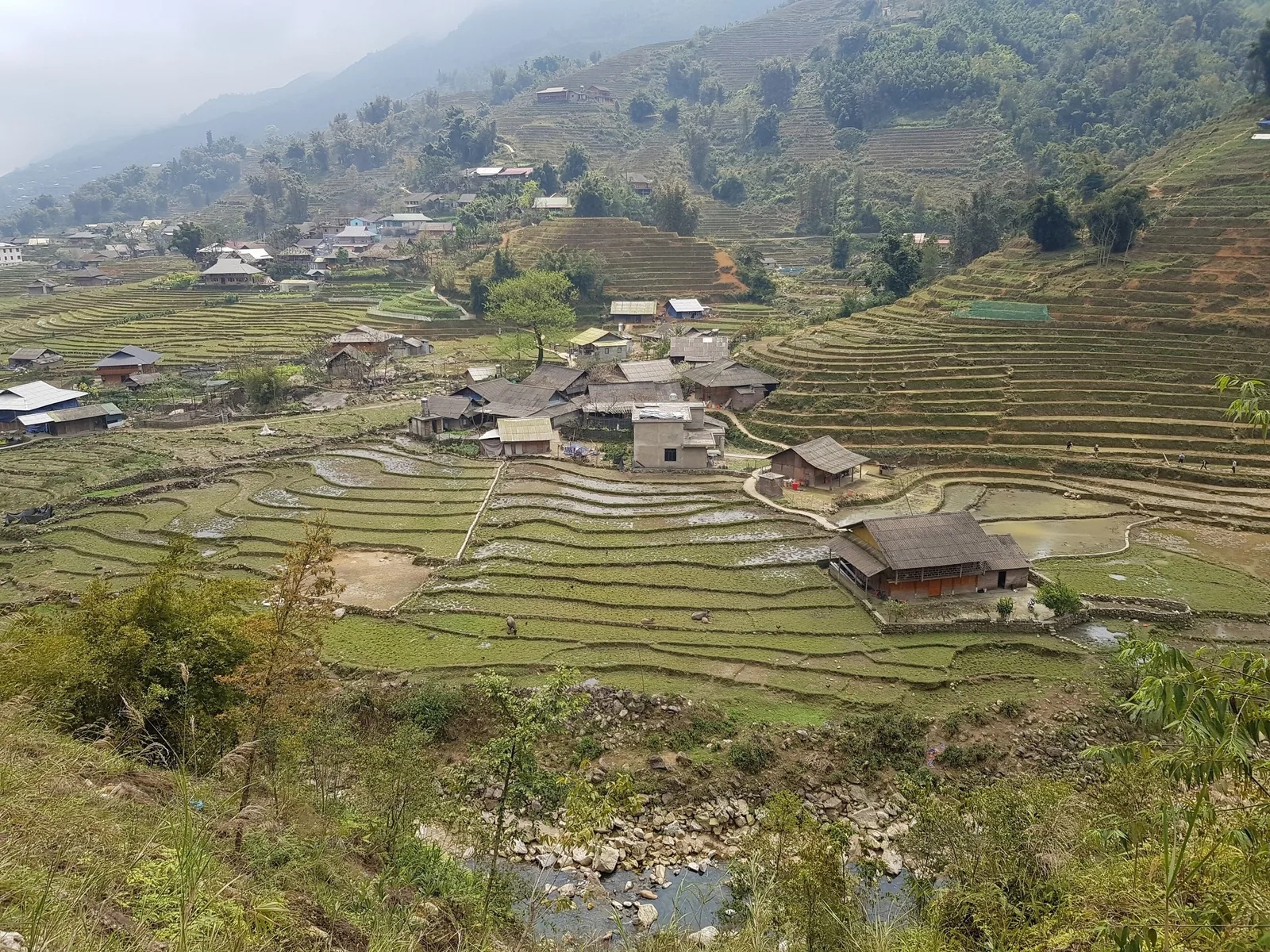
Treks · Vietnam · Sa Pa
Sapa valleys, four days on foot
Four days walking down and along the Muong Hoa valley below Sa Pa town, with three nights in Giay and Tay family houses. Grade 2: about 43 km and 1,600 m of climbing in total.
At a glance
- Duration
- 4 days, 3 nights
- Distance
- about 43 km
- Total climb
- about 1,600 m
- Village nights
- 3 homestays
- Grade
- 2 · moderate
- Price
- On request, per trip
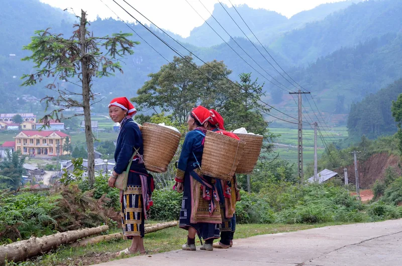
This trek is for people who want Sa Pa's terraces without Sa Pa's traffic. The town itself, at about 1,600 metres, is now a dense resort of hotels. The valleys to the south are still farmed by Hmong, Dao, Tay and Giay families, and the trek spends all four days down there. You walk out of town on the first morning and do not come back until a vehicle collects you on day four.
It suits fit walkers on their first multi-day trek and experienced hikers who want culture more than altitude. The hardest day is day two: about 15 kilometres with 600 metres of climbing, much of it on clay paths between paddy terraces.
Day by day
Day 1
Sa Pa town down to Ta Van
Your guide meets you at your Sa Pa hotel at 08:00. Bags you do not need go into storage there. The path leaves the road above Y Linh Ho and drops steeply through Hmong terraces into the Muong Hoa valley. Expect a long descent on stone and clay steps; poles help your knees here.
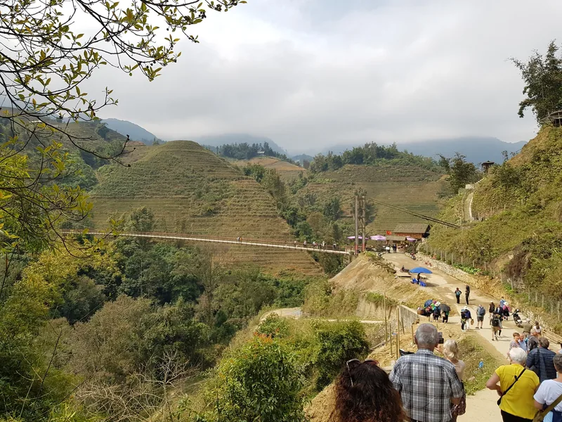
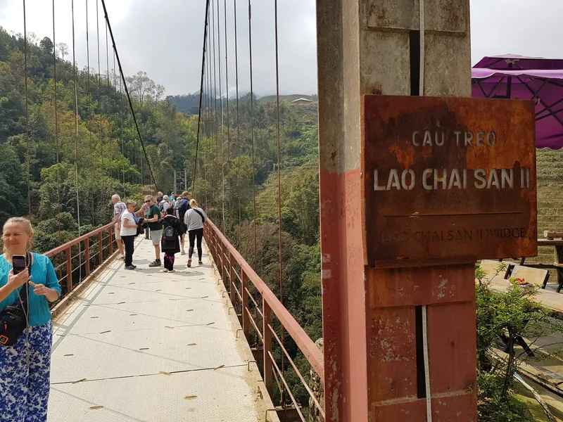
Lunch is in Lao Chai, then an easier afternoon along the valley floor to Ta Van, a Giay village where you sleep. Arrival is usually 15:00 to 16:00.
Day 2
Ta Van to Ban Ho through Giang Ta Chai
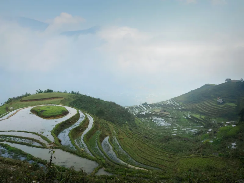
The ridge above Giang Ta Chai, with the whole Muong Hoa valley below
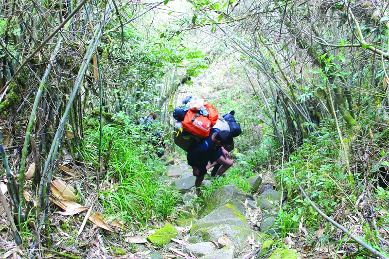
The longest day. You climb out of Ta Van through bamboo forest above Giang Ta Chai, cross a ridge with views back up the valley towards the Hoang Lien range, and descend through Su Pan to the river.
The last hour follows the river to Ban Ho, a Tay village of stilt houses where you spend two nights. In wet weather your guide may take the lower road path instead of the ridge; it is longer and less interesting but does not turn to mud.
Day 3
Ban Ho loop to Nam Toong
A loop out of Ban Ho without your overnight bag. The path climbs to Nam Toong, a Dao village, and returns by a different line through forest and rice terraces. You are back by mid-afternoon with time to swim in the river when the water is clear, usually in the dry months.
Day 4
Ban Ho out to the road, back to Sa Pa
A short morning walk on a farm track to the road, where your vehicle waits. The drive back to Sa Pa takes roughly one to one and a half hours depending on the road; we confirm timing when we quote.
You are back at your hotel by early afternoon. With the Hanoi option, the vehicle continues to Hanoi the same afternoon.
Distances, climbs and hours are planning estimates measured on maps, not GPS tracks. A guide may change a section on the day because of landslides, new fencing or weather.
How hard it is, in numbers
| Day | Distance | Climb | Descent | Walking time | Surface |
|---|---|---|---|---|---|
| 1 | 12 km | 250 m | 700 m | 5–6 h | stone steps, clay terrace edges |
| 2 | 15 km | 600 m | 500 m | 6–7 h | forest path, clay, river track |
| 3 | 11 km | 550 m | 550 m | 5 h | forest path, terrace dykes |
| 4 | 5 km | 200 m | 100 m | 2 h | farm track |
Grade 2 on our route scale means 10 to 15 kilometres a day with 400 to 700 metres of climb on the hard days. The descent on day one is what most people feel on day two: 700 metres down on steps is harder on knees than the climbing. If you have knee trouble, bring poles and tell us; there is a gentler line on day one via the road to Lao Chai.
The homestay nights on this route
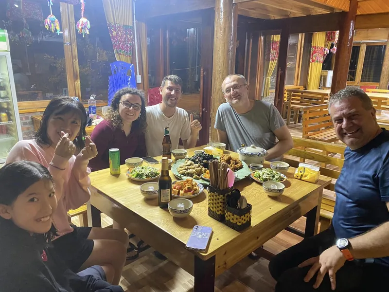
Ta Van has many guesthouses, and the houses we use are family homes that also take guests, not purpose-built hostels. Expect a shared sleeping floor upstairs with mattresses, nets and heavy blankets, a separate bathroom block with a hot shower from a gas heater, and a family dinner downstairs.
Ban Ho is quieter and further from the road. The Tay houses are on stilts, with the living floor upstairs and the kitchen fire inside. Hot water is less reliable there; on a cold evening it can mean a bucket of water heated on the stove. In December and January nights in the valley drop well below the daytime temperature, and Sa Pa town itself averages a low of 6.2 °C in January.
Sources: Sa Pa climate table (Vietnam Institute for Building Science), via Wikipedia · checked .
Price and what it includes
| Party | Trek price |
|---|---|
| Private, 1 traveller | On request |
| Private, 2 travellers | On request |
| Private, 3 – 4 travellers | On request |
| Private, 5 – 8 travellers | On request |
What the price includes
- English-speaking trek guide for all four days
- Local guide from the valley on days one to three
- Three homestay nights with dinner and breakfast
- Lunch on all four days, drinking water and tea on the trail
- Village entrance tickets on the route
- Vehicle from Ban Ho back to Sa Pa on day four
- Bag storage arrangement at your Sa Pa hotel
What it does not include
- Hotel nights in Sa Pa before and after the trek
- Transport Hanoi – Sa Pa, unless you choose that option
- Travel insurance that covers trekking
- Drinks other than water and tea
- Porters (available on request)
- Tips for guides and host families
How we build the number is explained on the pricing page, and the steps from first message to deposit are on how to book.
Pictures from the route
Who this trek is not for
- Anyone who wants a summit. Fansipan is a separate climb and a separate trip; this route stays in the valleys.
- Travellers in July and August who cannot accept wet clay, cloud and leeches. Sa Pa receives over 450 mm of rain in each of those months.
- People who need a private room with a door and their own bathroom every night.
- Anyone expecting wilderness. The valley is farmed, villages are on the route, and other trekkers walk parts of it.
Paperwork and rules on this route
The Muong Hoa villages charge an entrance ticket per visitor; a 2023 press report gave 75,000 VND per adult for Lao Chai – Ta Van. We include the tickets, so the current figure is our problem rather than yours. Homestay hosts must declare foreign guests' temporary residence to the commune police: under Vietnam's Law 47/2014, within 12 hours, or 24 hours in remote areas. That is why we ask for passport details before the trek.
Plan My Trip
Sa Pa in your dates?
Send your dates and party size. We reply by email with a quote and the day plan.
Sources: CafeBiz citing To Quoc, Sa Pa attraction tickets, 25 Jul 2023; Law 47/2014/QH13 on foreigners' entry and residence, Article 33; Sa Pa climate table (Vietnam Institute for Building Science), via Wikipedia · checked .
Common questions
Questions travellers ask most
How do we get to Sa Pa for the start?
Most people take the overnight train from Hanoi to Lao Cai and a road transfer up to Sa Pa, or a bus or private car the whole way. Sa Pa is about 250 km from Hanoi. We can include a private transfer as an option.
Is this trek crowded?
Day one through Lao Chai and Ta Van is the busiest part of the valley, and you will meet other groups. Days two and three, towards Ban Ho and Nam Toong, see far fewer walkers.
What happens if it rains heavily?
Your guide switches the ridge section on day two to a lower path and, if needed, shortens day three. If a landslide closes the road out on day four, the vehicle meets you at a different point.
Can we do it in three days?
Yes, by dropping the Nam Toong loop on day three and walking out from Ban Ho that day. You lose the quietest walking of the trek.
Related
Read next
Regions · Vietnam
Sa Pa
Sa Pa for walkers: the valleys, the seasons, the costs.
View journey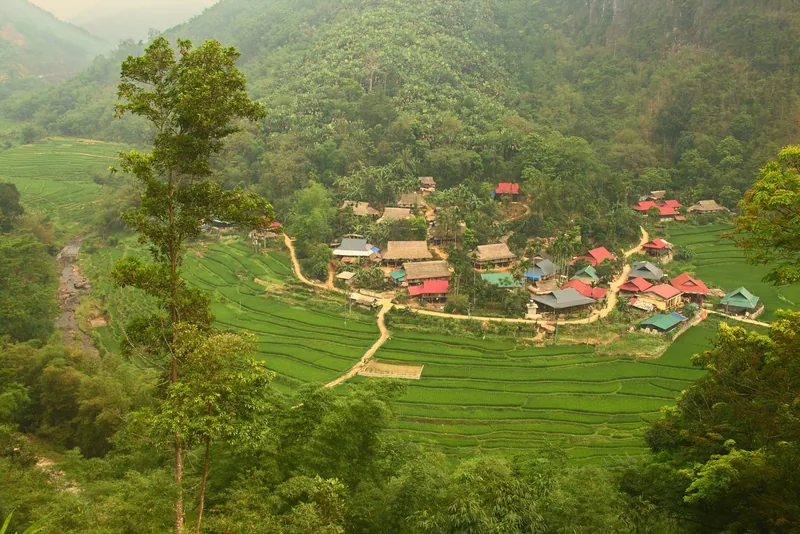
Example itinerary — fully customizable
Pu Luong & Mai Chau Trek
Mai Chau's valley and Pu Luong's terraces in four days, grade 2.
View journey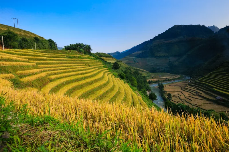
Example itinerary — fully customizable
Hoang Su Phi Trek 5 days
Five days across Hoang Su Phi's terraces, four village nights, grade 3.
View journey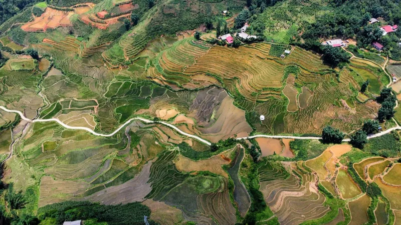
Plan · Route table
Route table
Every trek's days, distances, climbs and seasons in one table.
View journey
Treks · Prices
Trek prices
What goes into a trek quote, line by line.
View journey
Treks · Booking
How to book
The booking steps, what we need from you and when.
View journey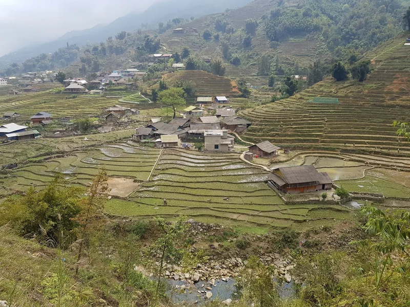
Start planning
Tell us about the trip you have in mind
Dates, party size and the places you care about are enough to start. You get a draft route and an indicative price, not a brochure.