
 Village treks · Vietnam · Laos · Cambodia
Plan · Route table
The route table: every day, in numbers
One table for every route: days, kilometres per day, climb on the hardest day, village nights, the months to aim for and the months to avoid, each row with its source and the date we checked it.
The table
| Route | Days | Km per day (est.) | Hardest day climb (est.) | Village nights | Aim for | Avoid | Season source · checked |
|---|---|---|---|---|---|---|---|
| Sapa valleys | 4 | 12 · 15 · 11 · 5 | 600 m | 3 homestays | Mar–May, Sep–Nov | Jul–Aug | Sa Pa climate table · 3 Oct 2026 |
| Hoang Su Phi terraces | 5 | 4 · 13 · 14 · 12 · 6 | 800 m | 4 homestays | late May–Jun, Sep–Oct | Jul–Aug | VnExpress harvest report, Sep 2025 · 3 Oct 2026 |
| Pu Luong & Mai Chau | 4 | 8 · 10 · 14 · 9 | 650 m | 3 homestays | Mar–Apr, Sep–Nov | Jul–Aug | Regional pattern, Sa Pa table as proxy · 3 Oct 2026 |
| Nam Ha forest | 3 | 12 · 14 · 10 | 800 m | 2 (village or shelter) | Nov–Feb | May–Oct, worst Jul–Aug | Luang Namtha climate, FAO 1990–2019 · 3 Oct 2026 |
| Mondulkiri forest | 3 | 6 · 12 · 7 | 300 m | 0 (2 camp nights) | Nov–Feb | Jun–Oct, worst Aug | Sen Monorom climate table · 3 Oct 2026 |
| Phongsaly (on request) | 5+ | planned per trip | planned per trip | village houses | Nov–Feb | summer rains | Phongsaly climate summary · 3 Oct 2026 |
Read the kilometres column day by day, not as a total: a five-day route with one 14-kilometre day can be easier than a three-day route with two. Every distance and climb here is a planning estimate measured on maps, not a GPS track, and a guide may reroute a section on the day. Seasons come from the climate data and reports named in the last column, read on 3 October 2026.
Sources: Sa Pa climate table (Vietnam Institute for Building Science), via Wikipedia; VnExpress, Hoang Su Phi rice season, 15 Sep 2025; Luang Namtha climate (FAO 1990–2019), via Wikipedia; Sen Monorom climate table, Wikipedia; Phongsaly, Wikipedia · checked .
How we grade a route
| Grade | Km per day | Climb on hard days | What it feels like |
|---|---|---|---|
| 1 | up to about 12 | up to about 400 m | Steady walking; heat or terrain may still make it tiring |
| 2 | 10 – 15 | 400 – 700 m | Full walking days with one or two sustained climbs |
| 3 | 12 – 15 or more | 700 m or more on at least two days | Hill days back to back, narrow or muddy paths |
The grade follows the hardest days, not the average. Two things the numbers do not show: surface and climate. Terrace edges and forest trails after rain slow you down sharply, and heat with high humidity in Mondulkiri makes a grade 1 route harder than a cool grade 2 day in Sa Pa. Each trek page has a 'how hard it is' section that adds the surface for every day.
Checking yourself against the table
A practical test: walk your local hills for a day that matches the hardest row of the route you want. For Sa Pa, 15 kilometres with 600 metres of ascent. For Hoang Su Phi or Nam Ha, 13 to 14 kilometres with 750 to 800 metres. If you finish tired but able to do it again tomorrow, the route fits. If tomorrow would be a struggle, choose a lower grade or add a rest day; we can build one into any Vietnam trek.
Descents matter as much as climbs. The first day of the Sa Pa trek drops about 700 metres on steps; that is the day people's knees remember. Poles reduce the load considerably and are on our packing list.
Homestay nights: what the number means
A homestay night on this table means a night in a family house in the village, sharing the family's dinner. It does not mean a guesthouse run as a business, and it does not mean a private room. On the Nam Ha route one night may be in a simple forest shelter, and the Mondulkiri route uses a community forest camp; the table says so instead of counting them as homestays.
In Vietnam, every one of those houses must register you with the commune police within 12 hours of arrival, or 24 hours in remote areas. Your host does it from your passport details, which is why we collect them before the trek.
Sources: Law 47/2014/QH13 on foreigners' entry and residence, Article 33 · checked .
Months to avoid, and what happens if you go anyway
- July and August in northern Vietnam. Sa Pa's climate table shows 461 mm and 452 mm of rain in those months, with 23 to 26 rain days. Paths are clay, views are often cloud, and roads close for landslides. Walking is possible; plans change daily.
- May to October in Luang Namtha. July and August bring about 300 mm each. Forest trails become streams of mud, and leeches are everywhere below the ridges.
- June to October in Mondulkiri. August is the wettest month. Red-earth roads to the forest can become impassable, and plans may change at short notice.
- March and April in northern Laos. Dry, but smoke from field burning often hides the views; the walking itself is fine.
What the table does not cover
No trekking peaks, no camping expeditions, no road loops. The table lists only routes we walk with guests, plus Phongsaly, which we plan on request. Regions are described on the regions page, seasons month by month on the trekking seasons page.
Plan My Trip
A row looks like you?
Send the route and your dates. We reply by email with the plan.
Common questions
Questions travellers ask most
Are the distances GPS-measured?
No. They are planning estimates measured on maps, marked as estimates everywhere they appear. Real distances can differ by a kilometre or two on a day, and a guide may reroute a section.
Which route is the hardest?
Hoang Su Phi, because it has three consecutive climbing days of 600 to 800 metres. Nam Ha has the same peak climb but over fewer days, on rougher paths.
Which route is the easiest?
Pu Luong and Mai Chau by climb and surface. Mondulkiri has the least climbing but the most heat.
Why is Phongsaly on the table without numbers?
Because we plan it per trip rather than running a fixed route. The access days vary with where you come from.
Related
Read next
Treks
Treks
All five treks in one table, with grades, days and village nights.
View journey
Plan · Seasons
Trekking seasons
Month-by-month trekking conditions in every region we walk.
View journey
Plan · Packing
Packing list
What to carry for wet paths and cold homestay nights.
View journey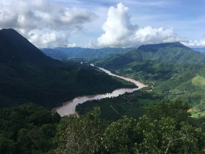
Regions
Regions
The trekking regions compared: altitude, rain, terrain, access.
View journey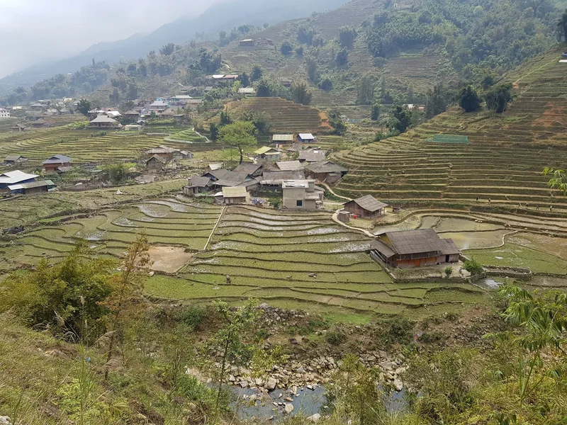
Example itinerary — fully customizable
Sapa Valleys Trek 4 days
Four days in the valleys below Sa Pa, three homestay nights, grade 2.
View journey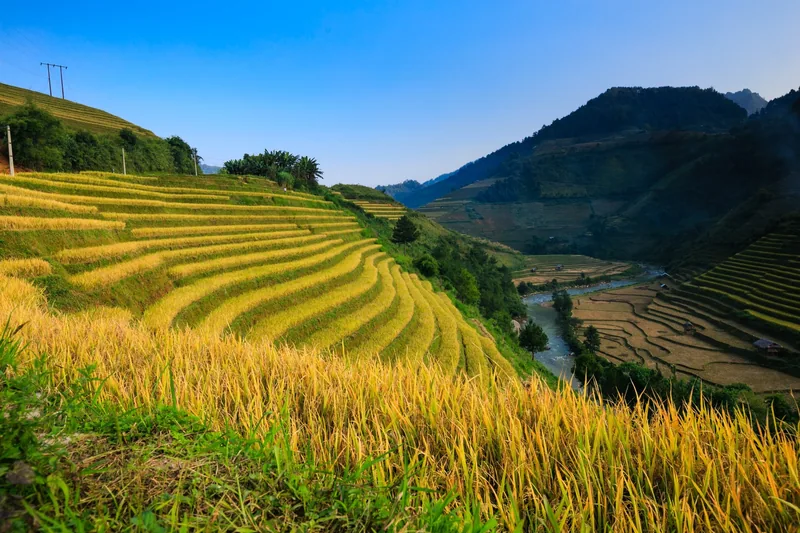
Example itinerary — fully customizable
Hoang Su Phi Trek 5 days
Five days across Hoang Su Phi's terraces, four village nights, grade 3.
View journey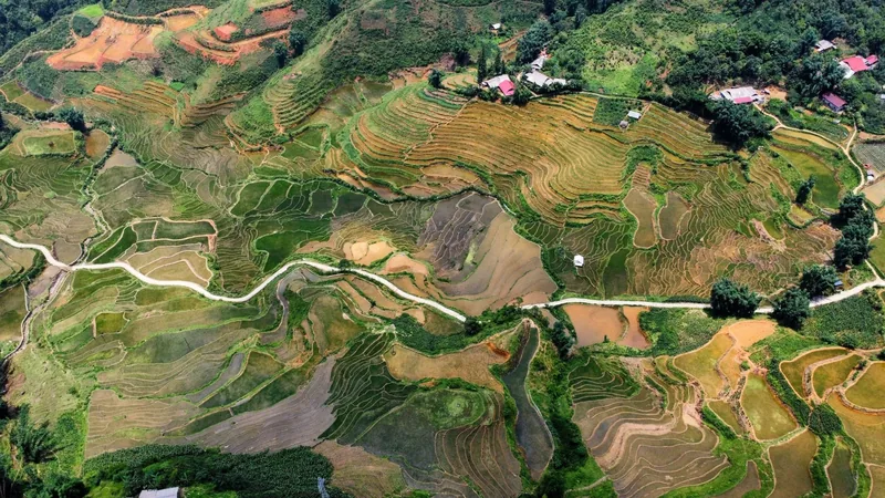
Start planning
Tell us about the trip you have in mind
Dates, party size and the places you care about are enough to start. You get a draft route and an indicative price, not a brochure.