
 Village treks · Vietnam · Laos · Cambodia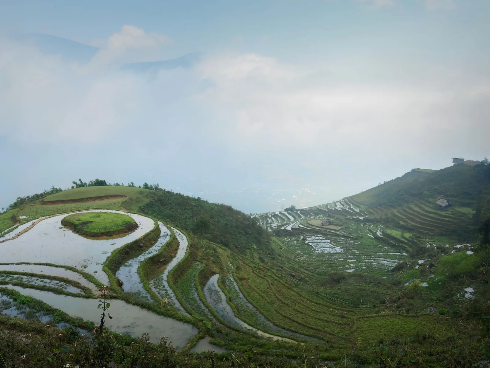
Regions · Vietnam
Sa Pa, below the town
Sa Pa town is a resort now. The reason to come is the farmed valleys below it, walked over two to four days between Hmong, Dao, Tay and Giay villages.
Sa Pa in numbers
Sources: Sa Pa climate table (Vietnam Institute for Building Science), via Wikipedia; Hoang Lien National Park, Wikipedia; Hanoi–Lao Cai railway, Wikipedia; Viet Nam News, new names for 34 provinces, 14 Apr 2025 · checked .
What Sa Pa actually is
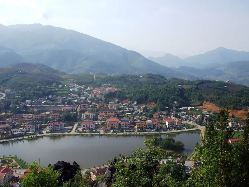
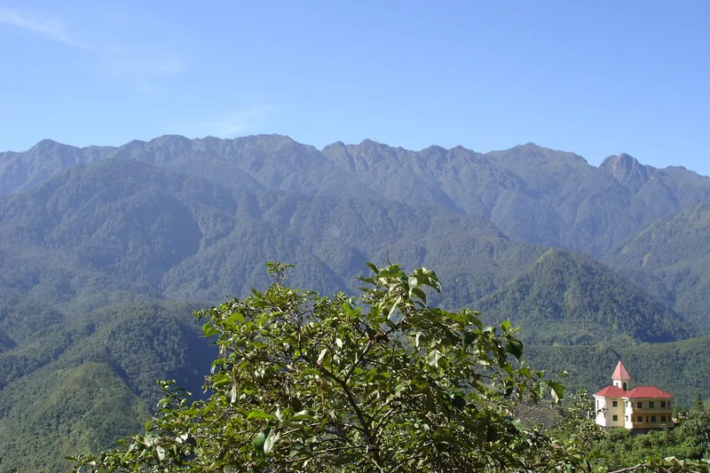
Sa Pa town sits at about 1,600 metres on a ridge facing the Hoang Lien range, which holds Fansipan, Vietnam's highest mountain. The town has grown into a dense cluster of hotels, restaurants and building sites. If you stay in town only, you will see more construction than terraces.
The valleys are different. The Muong Hoa valley lies below the town, between it and Fansipan, with terraced rice fields stepping down from the villages of Lao Chai and Ta Van towards the river. The population of the Sa Pa area is about half Hmong, a quarter Dao, with smaller Tay and Giay communities and Kinh Vietnamese mostly in town. Walking from village to village is the way most of these families have always moved around, and the paths are still in daily use.
Trekking here is not wilderness. Roads have reached most villages, Ta Van has many guesthouses, and on the first day out of town you will meet other groups. Two days further on, around Ban Ho and Nam Toong, it is quieter.
How many nights, and why fewer fails
Three to four nights is the useful minimum: one in or near town on arrival, then two or three in the valleys. With only one night, most of your time goes on the road from Hanoi and the walk you manage is the busiest stretch, down to Lao Chai and Ta Van, often in afternoon cloud.
Our four-day trek starts from town and spends three nights in village houses, which gets you past the busy first day into the quieter valleys.
When to walk
3 = good walking weather; 2 = possible with trade-offs; 1 = wet or very cold, choose another month if you can.
| Months | What to expect |
|---|---|
| Sep – Oct | Rice ripening in September, harvest into October; dry, clear spells. The busiest walking season. |
| Nov | Harvest over, terraces brown; dry and cool, good visibility. |
| Dec – Feb | Cold. January averages a low of 6.2 °C in town; frost and, rarely, snow. Quiet paths. |
| Mar – May | Warming, terraces flooded and planted from late spring. Some haze. |
| Jun – Aug | Wettest months, 23–26 rain days a month in summer; green but muddy, with landslide risk on roads. |
More on seasons across all regions is on the trekking seasons page.
Sources: Sa Pa climate table (Vietnam Institute for Building Science), via Wikipedia · checked .
Getting there
Sa Pa is about 250 kilometres north-west of Hanoi. The main options are the overnight train on the 296-kilometre Hanoi – Lao Cai line, followed by a road transfer up the mountain to Sa Pa; a sleeper or limousine bus; or a private car. Train and bus timetables change; check with the operator before you travel. We can include a private transfer from Hanoi in the trek quote.
Sources: Sa Pa climate table (Vietnam Institute for Building Science), via Wikipedia; Hanoi–Lao Cai railway, Wikipedia · checked .
What things cost here
Village tickets are charged per visitor on the main valley routes. A 2023 press report listed 75,000 VND per adult for Lao Chai – Ta Van, 150,000 VND for Cat Cat and 40,000 VND for Ta Phin – Sin Chai – Hau Thao; check before you travel. Hotels in town range from backpacker beds to large resort hotels. On our trek, tickets, homestays and meals on the trail are included, so what you spend in Sa Pa itself is mainly your hotel nights and food in town.
Sources: CafeBiz citing To Quoc, Sa Pa attraction tickets, 25 Jul 2023 · checked .
Pictures
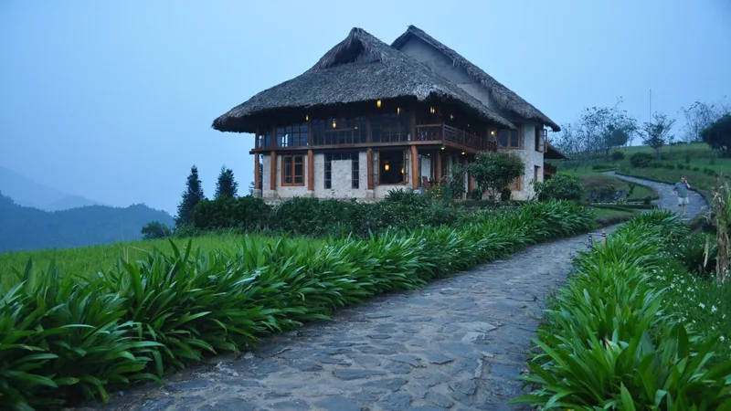
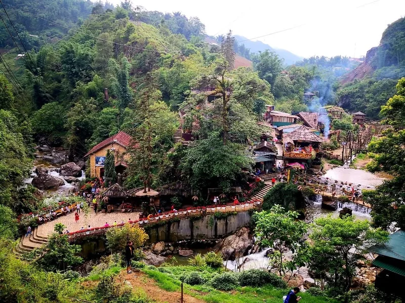
The wider Sa Pa area on foot
Our route covers the Muong Hoa valley and the quieter side valleys towards Ban Ho. There is more walking beyond it. Ta Phin, north-east of town, is a Dao and Hmong area with its own village ticket. The slopes of the Hoang Lien range above the valleys are inside a national park of 68,569 hectares, with terrain mostly between 1,000 and 3,000 metres. Those higher routes are a different kind of trek, steeper and colder, and not one we sell.
If you have extra days, a rest day in Ban Ho or a second loop from Ta Van can be added to our trek without changing its character.
Sources: Hoang Lien National Park, Wikipedia; CafeBiz citing To Quoc, Sa Pa attraction tickets, 25 Jul 2023 · checked .
When to skip Sa Pa
- If you want empty trails. The first valley day is shared with many other walkers in every season.
- If you have only one night. The journey eats most of it.
- In July and August if mud and cloud would ruin the trip for you.
- If you want terraces and nothing else: Hoang Su Phi has more of them and fewer people, at the cost of longer drives.
Common questions
Questions travellers ask most
Is Sa Pa too touristy for trekking?
The town is busy and the first valley day is shared with many walkers. Beyond Ta Van, towards Ban Ho and Nam Toong, the paths are much quieter.
Can it snow in Sa Pa?
Yes. Snow has fallen in the town on several occasions in recent decades, in the coldest weeks of winter. It is rare and does not last.
Do we need a permit to trek around Sa Pa?
No special permit for the valleys we walk. There are village entrance tickets, which our trek includes, and your homestay registers you with the commune police.
Is Fansipan part of the trek?
No. Fansipan is a separate climb. Our Sa Pa trek stays in the valleys and villages below the town.
Related
Read next
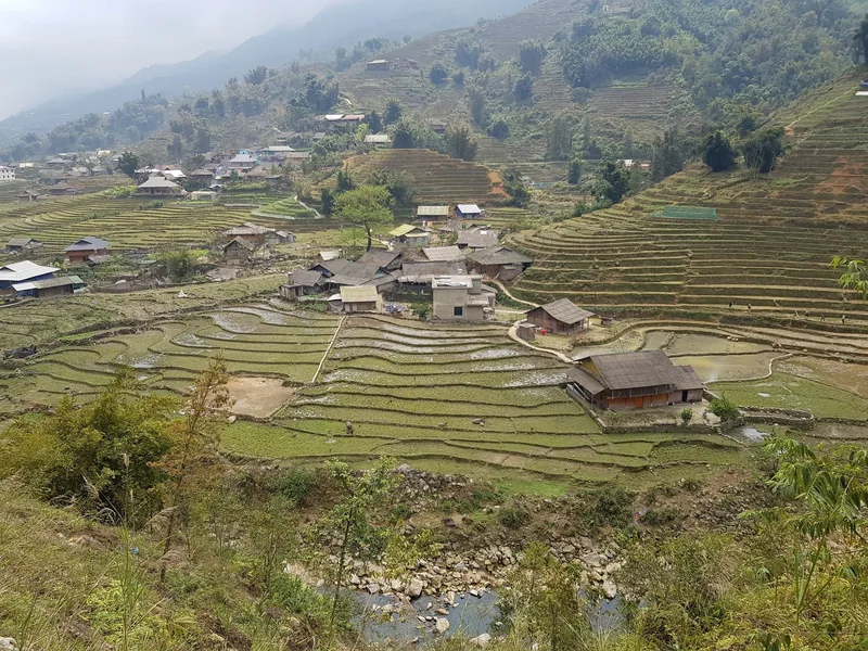
Example itinerary — fully customizable
Sapa Valleys Trek 4 days
Four days in the valleys below Sa Pa, three homestay nights, grade 2.
View journey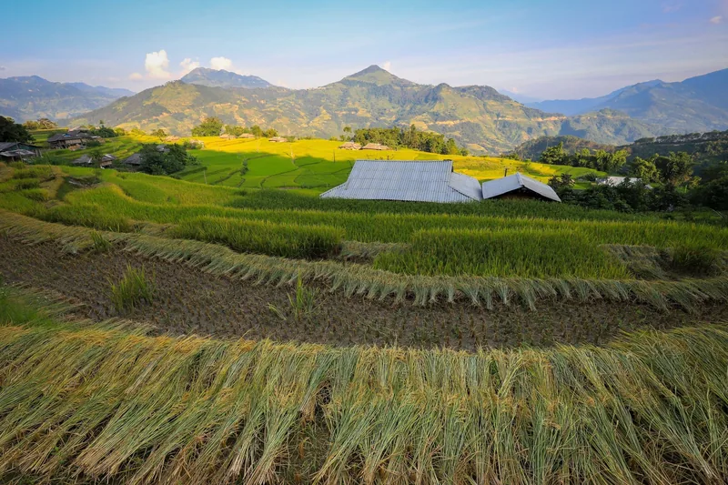
Regions · Vietnam
Ha Giang
Ha Giang for walkers: Hoang Su Phi's terraces, seasons, permits.
View journey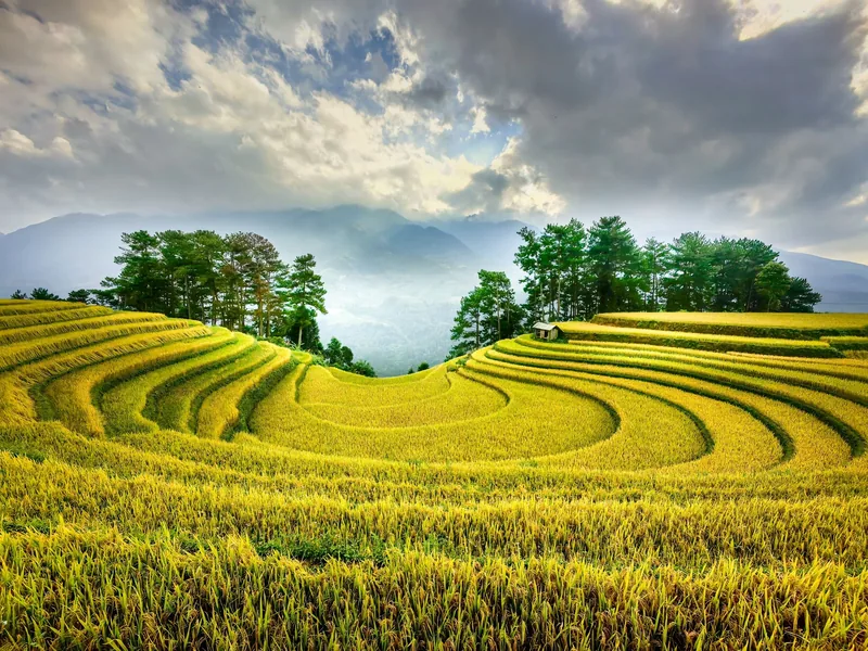
Plan · Seasons
Trekking seasons
Month-by-month trekking conditions in every region we walk.
View journey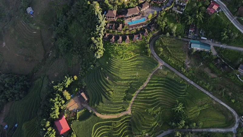
Plan · Packing
Packing list
What to carry for wet paths and cold homestay nights.
View journey
Regions
Regions
The trekking regions compared: altitude, rain, terrain, access.
View journey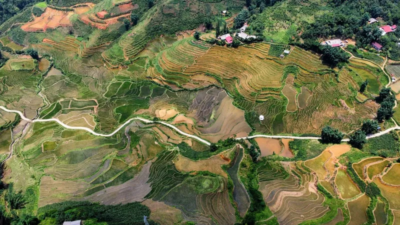
Plan · Route table
Route table
Every trek's days, distances, climbs and seasons in one table.
View journey
Start planning
Tell us about the trip you have in mind
Dates, party size and the places you care about are enough to start. You get a draft route and an indicative price, not a brochure.