
 Village treks · Vietnam · Laos · Cambodia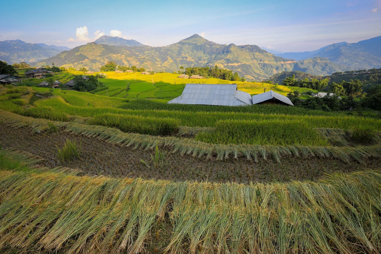
Regions · Vietnam
Ha Giang, the western side
Ha Giang means two very different landscapes: the Dong Van karst plateau in the east and the terraced earth hills of Hoang Su Phi in the west. For walking, it is the west.
Ha Giang in numbers
Sources: VnExpress, Hoang Su Phi rice season, 15 Sep 2025; Dong Van Karst Plateau Geopark, Wikipedia; Viet Nam News, new names for 34 provinces, 14 Apr 2025; Decree 34/2014/ND-CP on land border areas (English text) · checked .
Two regions under one name
The east of the old Ha Giang province is the Dong Van Karst Plateau Geopark: 2,356.8 square kilometres of limestone across the districts of Meo Vac, Dong Van, Yen Minh and Quan Ba, at an average of 1,400 to 1,600 metres, home to 17 ethnic minority groups. It joined the UNESCO Global Geoparks network in 2010. Most visitors see it from the road, on the motorbike circuit known as the Ha Giang Loop.
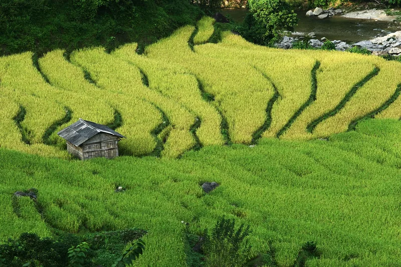
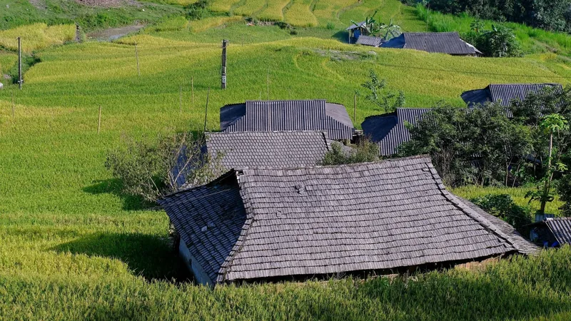
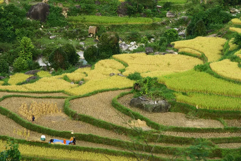
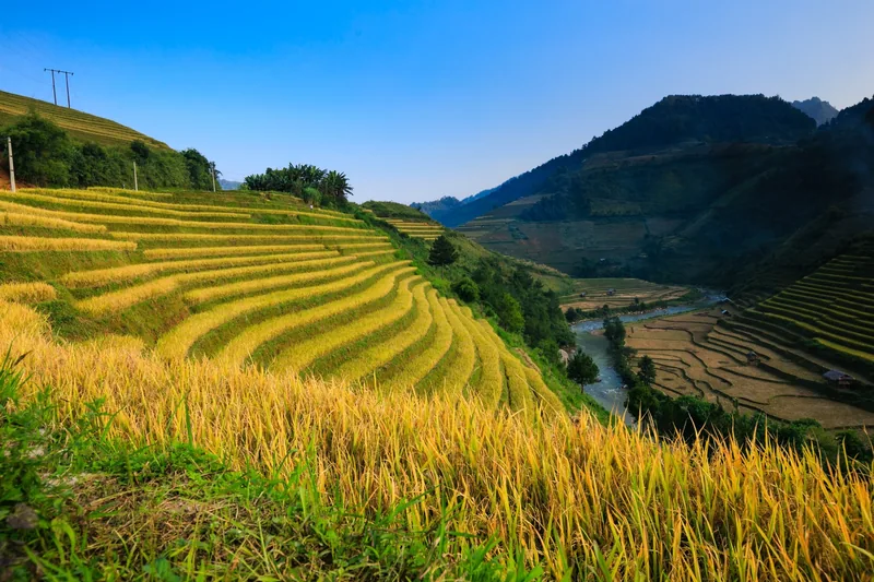
The west is Hoang Su Phi, outside the geopark. Here the hills are earth, not rock, and families have cut them into terraces from the valley floors to the ridgelines. The terraces were recognised as a national heritage site in 2012 and cover more than 3,700 hectares across eight communes. Fewer roads and fewer visitors make it the better of the two for walking village to village.
Since 1 July 2025 the entire former Ha Giang province is part of Tuyen Quang province. Locals, maps and bus companies still use both names.
How many nights, and why fewer fails
Allow four to five nights from Hanoi. The drive is close to six hours each way, so a two-night visit means two days on the road for one day on foot. Our five-day trek uses three full walking days between the drives, with four nights in village houses.
If you want both the karst plateau and the terraces, add at least three more nights and accept that the plateau part will be mostly by road.
When to walk
3 = good for terraces and walking; 2 = possible with trade-offs; 1 = wettest months, landslide risk on roads.
| Months | Terraces | Walking |
|---|---|---|
| Late May – June | Flooded and newly planted, reflecting the sky | Warm, showers building |
| Jul – Aug | Green | Wettest; slippery paths, road landslides |
| Sep – early Oct | Ripening then harvest; the gold lasts 2–3 weeks | Usually dry; the busiest weeks |
| Nov – Apr | Harvested stubble, then bare earth | Dry, cool to cold nights, clear days |
The harvest moves from year to year. In 2025 it came early and was over by the end of September. We check with families on the route before confirming a harvest date. More detail is on the trekking seasons page.
Sources: VnExpress, Hoang Su Phi rice season, 15 Sep 2025 · checked .
Getting there
Hoang Su Phi is about 300 kilometres from Hanoi, close to six hours by road. There is no railway or airport nearby. Sleeper buses run from Hanoi to Ha Giang town, but reaching Hoang Su Phi from there means another road transfer. For a trek, a private vehicle from Hanoi is the practical option and is included in our quote.
Sources: VnExpress, Hoang Su Phi rice season, 15 Sep 2025 · checked .
What things cost here
Homestays are the main accommodation in the terraced communes. A 2025 press report put dinner, breakfast and a bed at about 500,000 VND per guest; check before you travel. Food in the small market towns is cheap. The largest cost of a Hoang Su Phi trip is the vehicle and driver for the long transfers, which is why party size matters more here than on any of our other treks; see the pricing page.
Sources: VnExpress, Hoang Su Phi rice season, 15 Sep 2025 · checked .
Permits and border rules
Hoang Su Phi borders China. Vietnam's Decree 34/2014 requires foreigners entering a land border area to hold a permit from the provincial police; the organisation taking them must notify police and border guards at least 24 hours in advance, and overnight stays in the border belt must be notified to the border post. If you trek with us, we arrange this from your passport details. If you travel independently, ask your accommodation before going near the border.
Sources: Decree 34/2014/ND-CP on land border areas (English text) · checked .
Pictures
When to skip Ha Giang
- If you have fewer than four nights. The drive makes a short visit mostly road time.
- If your heart is set on Ma Pi Leng and the karst plateau: that is a road trip, and not one we run.
- If long drives on mountain roads make you unwell.
- If you are new to multi-day walking: Pu Luong or Sa Pa is a gentler start.
Common questions
Questions travellers ask most
Is Hoang Su Phi part of the Ha Giang Loop?
No. The loop runs through the karst plateau in the east of the old province. Hoang Su Phi is in the west, outside the geopark.
Is Ha Giang still a province?
Since 1 July 2025 it has been merged into Tuyen Quang province. The name Ha Giang is still used for the area and the town.
Do we need a permit?
For land border areas, foreigners need a provincial police permit under Decree 34/2014. Parts of Hoang Su Phi are in that area; we arrange it for our treks.
When are the terraces flooded?
Usually in late spring and early summer, before and just after planting, when the fields fill with water. Timing varies with rain and altitude.
Related
Read next
Example itinerary — fully customizable
Hoang Su Phi Trek 5 days
Five days across Hoang Su Phi's terraces, four village nights, grade 3.
View journey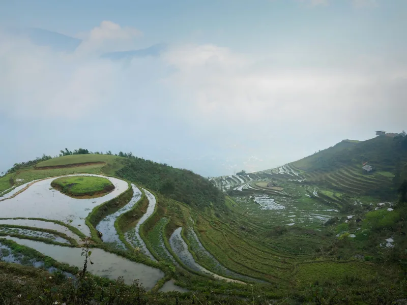
Regions · Vietnam
Sa Pa
Sa Pa for walkers: the valleys, the seasons, the costs.
View journey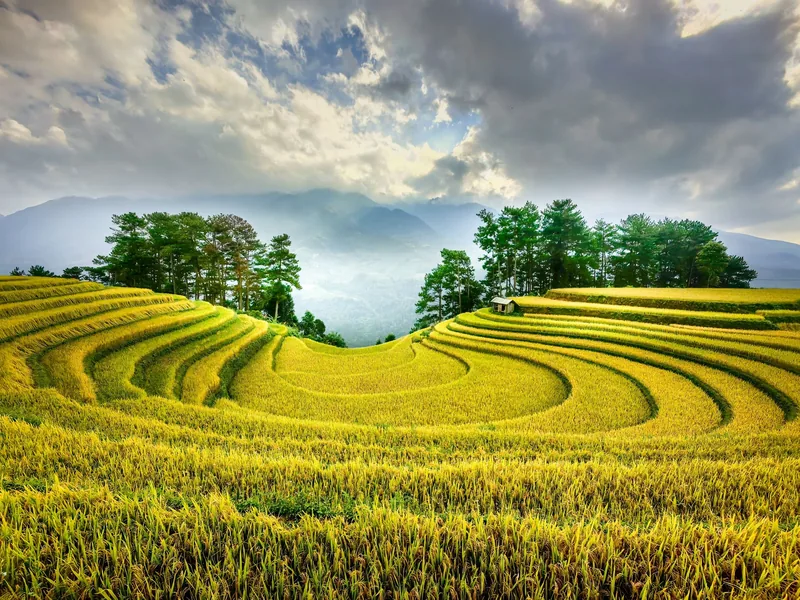
Plan · Seasons
Trekking seasons
Month-by-month trekking conditions in every region we walk.
View journey
Treks · Booking
How to book
The booking steps, what we need from you and when.
View journey
Regions
Regions
The trekking regions compared: altitude, rain, terrain, access.
View journey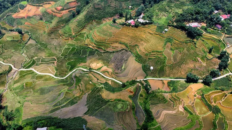
Plan · Route table
Route table
Every trek's days, distances, climbs and seasons in one table.
View journey
Start planning
Tell us about the trip you have in mind
Dates, party size and the places you care about are enough to start. You get a draft route and an indicative price, not a brochure.