
 Village treks · Vietnam · Laos · Cambodia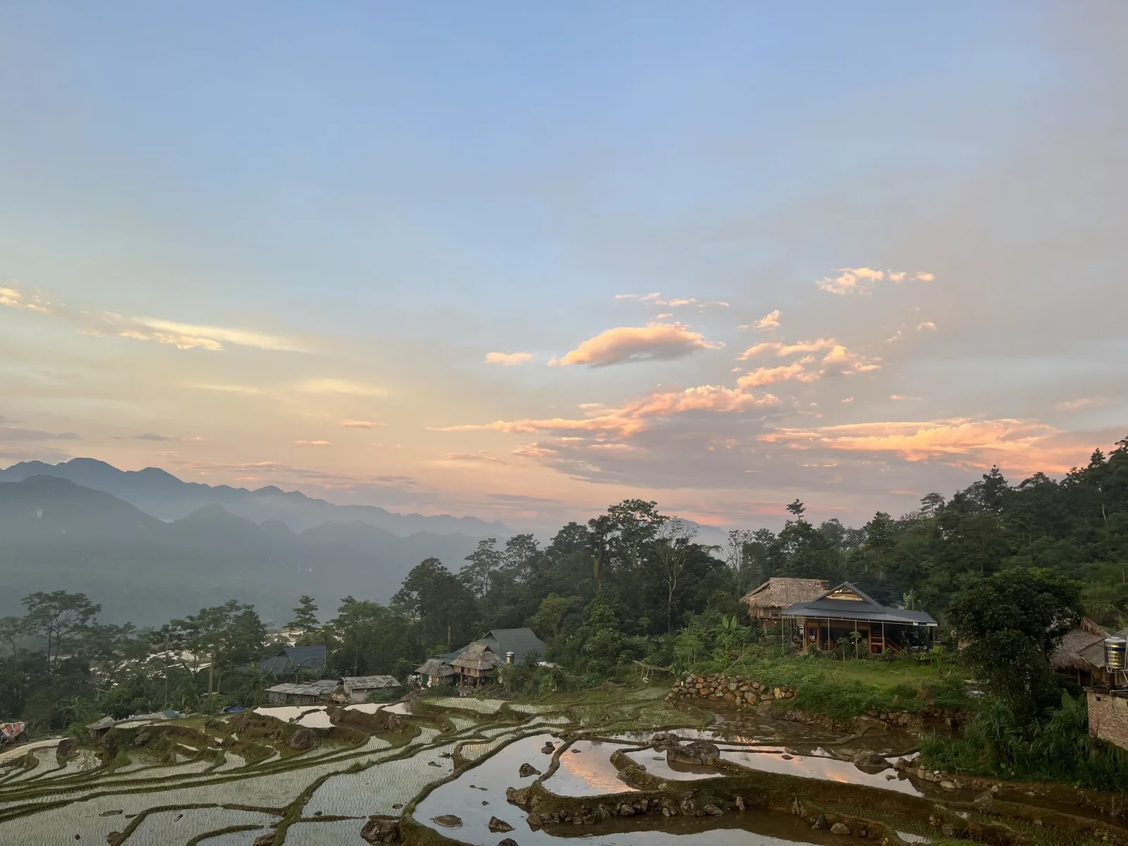
Regions · Vietnam
Pu Luong, and Mai Chau next door
A nature reserve of limestone ridges and terraced valleys in Thanh Hoa, with Mai Chau's flat rice valley just across the provincial line. The closest good trekking to Hanoi.
Pu Luong in numbers
Sources: Protected areas sourcebook of Vietnam, Pu Luong (2004); VietnamPlus, Pu Luong, 6 Dec 2023; Mai Chau, Wikipedia; Pu Luong homestay list on a travel agency website, 11 Jun 2024 (agency source) · checked .
What Pu Luong actually is
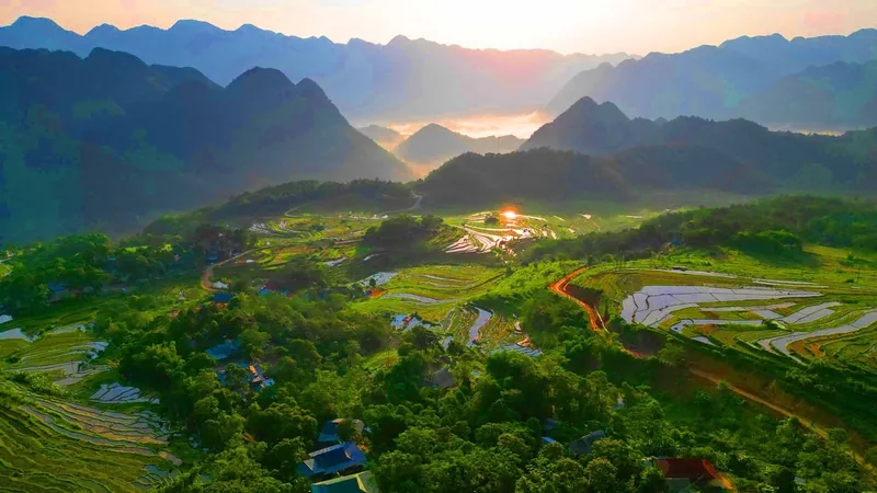
Pu Luong Nature Reserve covers 17,662 hectares of two former districts of Thanh Hoa province, Quan Hoa and Ba Thuoc, across ten communes. The core is a strict protection zone of forested limestone ridges; the villages and fields sit in the valleys and on the lower slopes. Heights run from 60 metres on the river to 1,667 metres at the highest point. The name comes from the Thai language and means the highest peak in the area.
Tourism here is recent compared with Sa Pa. Lodges with pools have appeared on the ridges with the widest views, and Ban Hieu's waterfall fills with day visitors at weekends. Away from those spots, most villages are farming communities that take a few guests in their stilt houses.
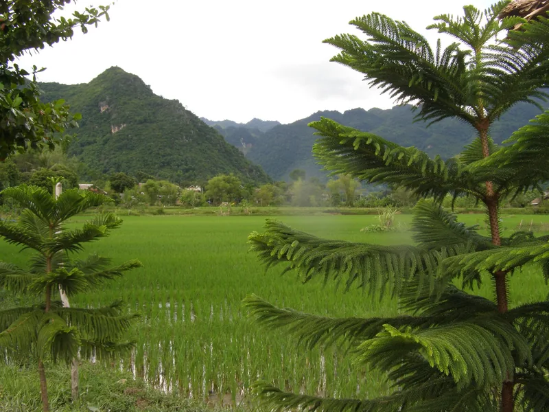
Mai Chau, a short drive away across the provincial line, is a flat valley of rice fields and Thai villages that has hosted visitors for decades. It is not a trekking destination on its own, but it makes an easy first day before the hills.
Villages and paths
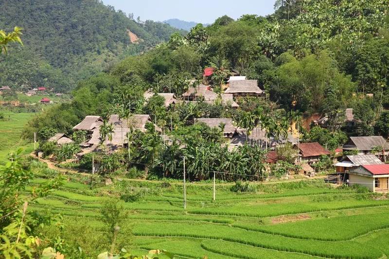
The people of the Pu Luong valleys are mainly Thai, and the villages follow the same pattern from one valley to the next: stilt houses grouped above the fields, a stream or canal lifted by bamboo water wheels, terraces climbing as high as the water reaches, and forest above that. Paths between villages are the ones families use to reach their fields and the next market, so they are well trodden in the valleys and narrow where they cross the ridges.
The reserve's strict protection zone covers about 13,300 hectares, mostly the forested ridges, and the ecological restoration zone another 4,300. Walking routes stay on village and farm paths through the buffer areas and across saddles between ridges. That keeps the climbing moderate: the hardest day on our route is about 650 metres, against 800 in Hoang Su Phi or Nam Ha.
Sources: VietnamPlus, Pu Luong, 6 Dec 2023 · checked .
How many nights, and why fewer fails
Three to four nights. With a single night you spend most of the time driving and see Pu Luong only from a lodge terrace. With three nights you can walk across the reserve between villages, which is the point. Our four-day trek does one night in Mai Chau and two in Pu Luong.
When to walk
3 = good walking weather; 2 = possible with heat or cold; 1 = wettest months.
| Months | What to expect |
|---|---|
| Sep – Oct | Rice ripening and harvest in the valleys; generally dry and warm |
| Nov – Feb | Cool and dry; misty mornings, cold nights in stilt houses |
| Mar – Apr | Mild, fields being prepared and planted |
| May – Jun | Hot on open terraces by late morning; start early |
| Jul – Aug | Wet; streams rise, paths over limestone become slippery |
Pu Luong is lower than Sa Pa or Hoang Su Phi, so it is warmer in every month. See the trekking seasons page for the other regions.
Getting there
There is no railway or airport close to Pu Luong; everyone arrives by road from Hanoi. Mai Chau is the nearer of the two. Drive times depend on the route and traffic; we treat about three and a half to four and a half hours to Mai Chau as a planning figure and confirm it when we quote. Our trek includes a private vehicle for the whole loop.
What things cost here
Pu Luong's accommodation spans a wide range. An agency listing from June 2024 showed simple homestay beds from about 120,000 VND a night at one end and upmarket lodges at over 1,000,000 VND a night at the other, with family homestays in between. Check before you travel. Meals in homestays are cooked by the family and paid per meal. On our trek, nights, meals and reserve fees are in the price.
Sources: Pu Luong homestay list on a travel agency website, 11 Jun 2024 (agency source) · checked .
Pictures
When to skip Pu Luong
- If you want a hard physical challenge. The walking is moderate.
- On weekends if you want quiet at the well-known waterfalls and viewpoints.
- In July and August if slippery limestone and heavy afternoon rain would spoil it.
- If you have already walked Sa Pa and want somewhere wilder: try Hoang Su Phi or Nam Ha in Laos.
Common questions
Questions travellers ask most
Is Pu Luong better than Sa Pa?
Different. Pu Luong is lower, warmer, closer to Hanoi and quieter away from a few hotspots. Sa Pa has higher mountains and a longer trekking tradition.
Which province is Mai Chau in now?
Since July 2025 Mai Chau has been part of the new Phu Tho province. It was previously in Hoa Binh.
Can we swim in Pu Luong?
Some stream pools and waterfalls are used for swimming in the dry, warm months. Ask your guide; after heavy rain the water is fast and brown.
Is Pu Luong suitable for families?
It is the gentlest of our Vietnam regions. Teenagers who walk regularly do well on our four-day route.
Related
Read next
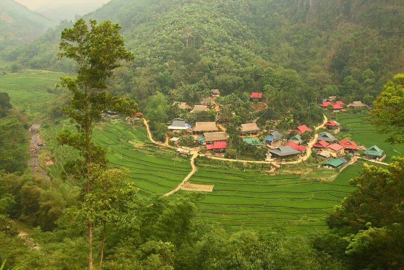
Example itinerary — fully customizable
Pu Luong & Mai Chau Trek
Mai Chau's valley and Pu Luong's terraces in four days, grade 2.
View journey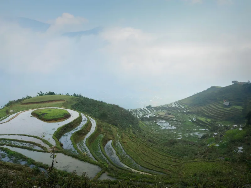
Regions · Vietnam
Sa Pa
Sa Pa for walkers: the valleys, the seasons, the costs.
View journey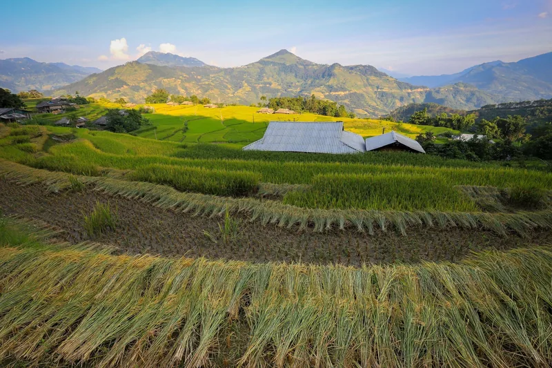
Regions · Vietnam
Ha Giang
Ha Giang for walkers: Hoang Su Phi's terraces, seasons, permits.
View journey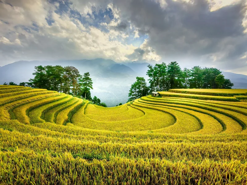
Plan · Seasons
Trekking seasons
Month-by-month trekking conditions in every region we walk.
View journey
Regions
Regions
The trekking regions compared: altitude, rain, terrain, access.
View journey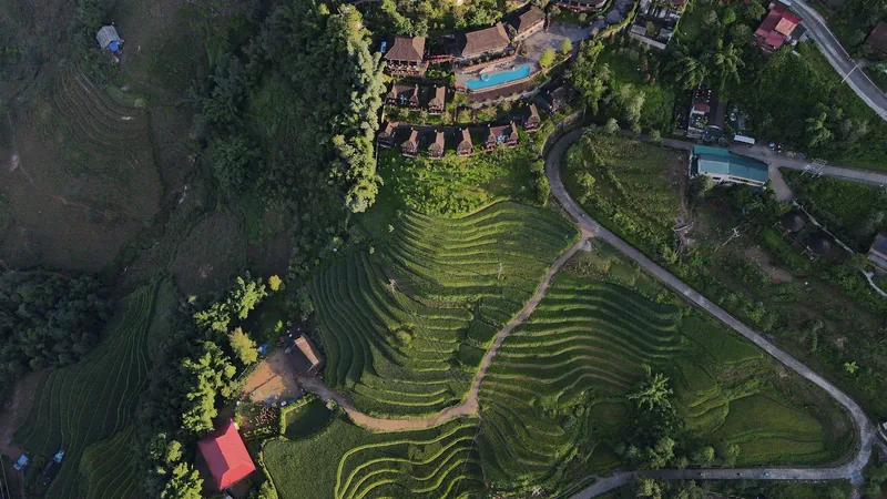
Plan · Packing
Packing list
What to carry for wet paths and cold homestay nights.
View journey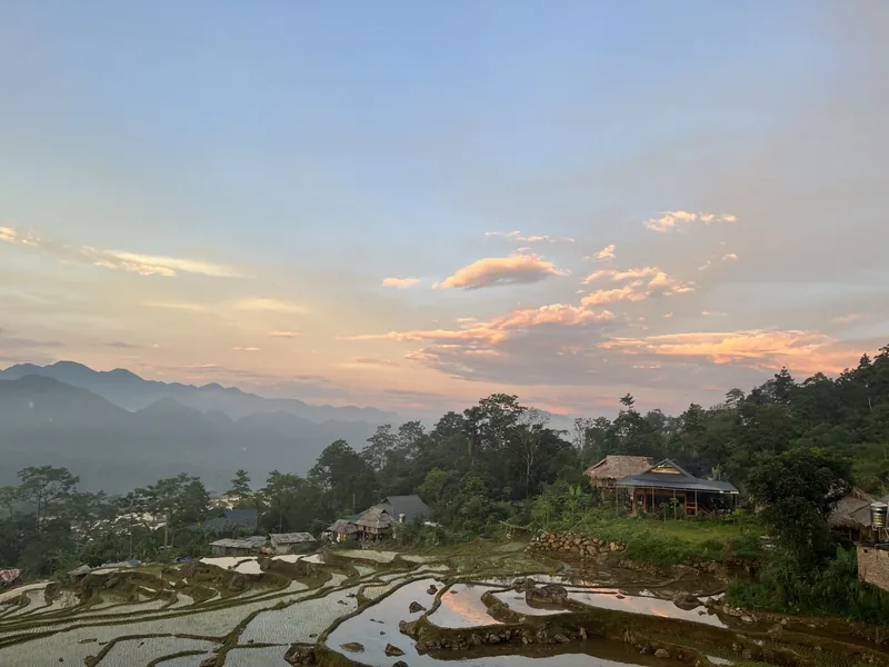
Start planning
Tell us about the trip you have in mind
Dates, party size and the places you care about are enough to start. You get a draft route and an indicative price, not a brochure.