
 Village treks · Vietnam · Laos · Cambodia
Regions · Laos
Luang Namtha, gateway to Nam Ha
A small valley town in northern Laos and the base for treks into the Nam Ha National Protected Area, where village-guided trekking has run since 1999.
Luang Namtha in numbers
Sources: Luang Namtha climate (FAO 1990–2019), via Wikipedia; Nam Ha National Protected Area, Wikipedia; Equator Initiative / UNDP, Nam Ha Ecotourism Project case study; Boten–Vientiane railway, Wikipedia · checked .
What Luang Namtha actually is
Luang Namtha is a quiet valley town at 552 metres, surrounded by rice fields and forested hills. Most visitors come for one reason: the Nam Ha National Protected Area, 2,224 square kilometres of forest rising to 2,094 metres, designated in 1993 and expanded in 1999.
Trekking in Nam Ha was shaped by the Nam Ha Ecotourism Project, started in 1999 by UNESCO and the Lao National Tourism Administration. Its model is simple: trained guides from the villages lead the walks, groups stay small, villages receive fixed payments for meals and beds, and part of the income goes into community funds. At the time of the project's case study, 57 villages took part. The project won the Equator Prize in 2006.
This is not a place for long-distance hiking on marked trails. It is a place for two- to four-day walks with local guides, through forest and into villages that do not see many outsiders.
Sources: Nam Ha National Protected Area, Wikipedia; Equator Initiative / UNDP, Nam Ha Ecotourism Project case study; Nam Ha NPA, Luang Namtha ecotourism page · checked .
How many nights, and why fewer fails
Three to four nights: one in town before the trek to meet your guide and check gear, two on the trail, and one after to rest and wash. Arriving and starting a trek the same morning works only if your train or flight lands the evening before. Our three-day trek covers two nights inside the protected area.
When to walk
3 = dry and cool; 2 = possible, hotter or hazier; 1 = rainy season, muddy trails and leeches.
| Months | What to expect |
|---|---|
| Nov – Feb | Driest months (January 26 mm, February 24 mm); cool days, cold nights; a record low of 0.4 °C in December |
| Mar – Apr | Hot and dry; smoke from field burning often hazes the views |
| May – Oct | Rainy season; July 294 mm and August 307 mm; muddy forest trails and leeches |
The trekking seasons page compares this with the other regions.
Sources: Luang Namtha climate (FAO 1990–2019), via Wikipedia · checked .
Getting there
Three ways in. By air: the airport is 6 kilometres south of town. By rail: the Boten – Vientiane railway, opened in December 2021, has a station at Na Teuy in Luang Namtha province, with a road transfer to town. By road: buses run from Luang Prabang and Oudomxay, and the journey from Luang Prabang is a long day that depends on road conditions. Check current flight, train and bus timetables before you travel.
Sources: Luang Namtha climate (FAO 1990–2019), via Wikipedia; Boten–Vientiane railway, Wikipedia · checked .
What things cost here
Luang Namtha is inexpensive. Guesthouses and noodle shops in town cost little. For treks, a travel wiki lists the provincial guide service's own trips at an average of around USD 30 a day for groups of four to eight, with the cost per person falling as the group grows; check before you travel. Private treks with an English-speaking trek guide cost more per head. Our quote includes guides, fees, meals and transfers to the trailhead; town nights are extra.
Sources: Wikivoyage, Luang Namtha (travel wiki, undated) · checked .
Pictures
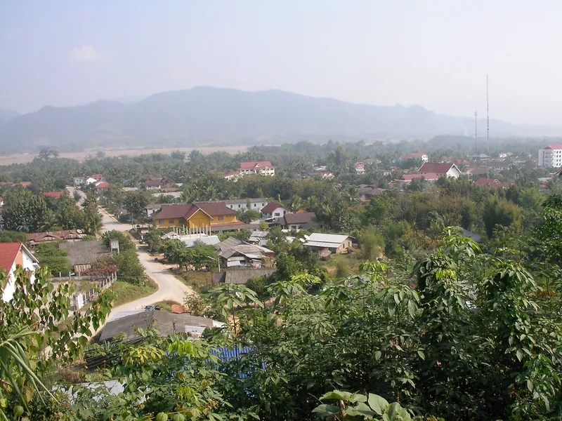
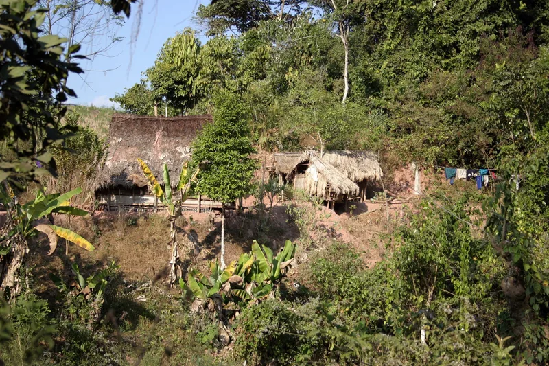
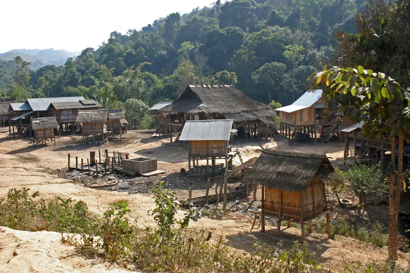
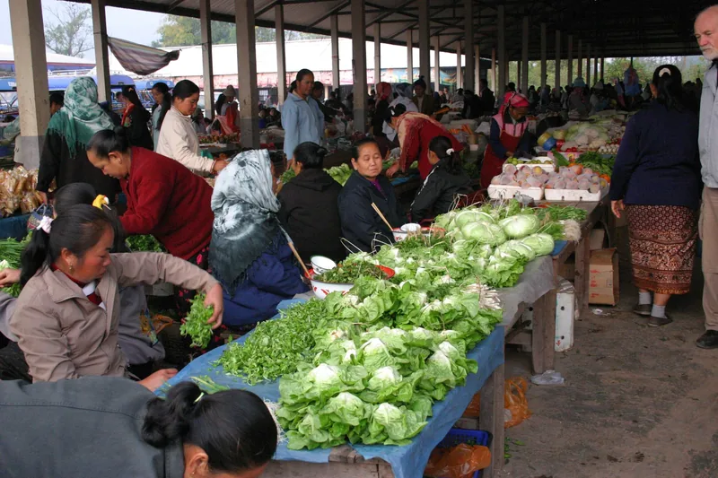
Beyond Nam Ha: Phongsaly
North of Luang Namtha lies Phongsaly province, reaching up between Vietnam and China. Its capital sits at about 1,300 metres, with a mean annual temperature near 20 °C and a subtropical highland climate. The ridges around it are farmed and forested, with villages connected by footpaths, and it sees far fewer visitors than Luang Namtha.
The reason we do not sell a fixed Phongsaly trek is access. From the railway or the nearest airport it is a long travel day each way, so a three-day walk turns into a five- or six-day trip. For travellers with a week or more in northern Laos, we plan it on request, usually after a Nam Ha trek.
Sources: Phongsaly, Wikipedia · checked .
When to skip Luang Namtha
- From June to September if muddy trails and leeches would spoil the trip.
- If you want to see big wildlife. The forest is rich but animals are shy and rarely seen.
- If you have only two days in northern Laos. Getting here and back takes much of that.
- If you need comfort on the trail. Village nights have no hot water and sometimes no power. Pu Luong is a softer homestay experience.
Common questions
Questions travellers ask most
Do we need a guide to trek in Nam Ha?
The protected area's treks are led by trained local guides, and that is how we run ours. Villages near the roads can be visited independently, but forest routes are not marked.
How do we get from Luang Prabang to Luang Namtha?
By train to Na Teuy station on the Laos–China railway and a road transfer, or by bus, which takes a long day on mountain roads. Check current timetables.
Is it cold?
December and January nights are cold; the town has recorded 0.4 °C in December. Days are mild. Bring a warm layer for village nights.
Can we combine Nam Ha with Phongsaly?
Yes, with time. Phongsaly is further north and a long travel day away. We plan that combination on request for trips of a week or more.
Related
Read next
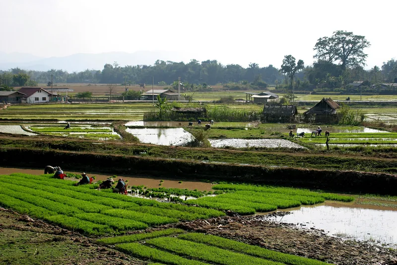
Example itinerary — fully customizable
Nam Ha Forest Trek 3 days
Three days in Laos's Nam Ha protected forest with village guides, grade 3.
View journey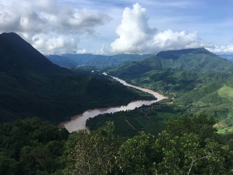
Regions
Regions
The trekking regions compared: altitude, rain, terrain, access.
View journey
Plan · Seasons
Trekking seasons
Month-by-month trekking conditions in every region we walk.
View journey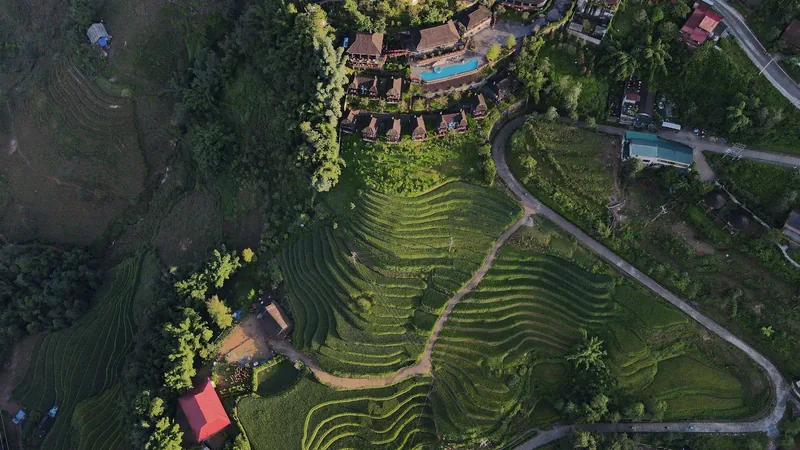
Plan · Packing
Packing list
What to carry for wet paths and cold homestay nights.
View journey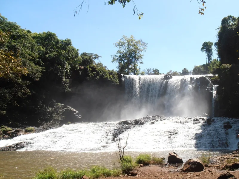
Example itinerary — fully customizable
Mondulkiri Forest Trek 3 days
Three days in Mondulkiri's forest with Bunong guides, grade 1.
View journey
Plan · Route table
Route table
Every trek's days, distances, climbs and seasons in one table.
View journey
Start planning
Tell us about the trip you have in mind
Dates, party size and the places you care about are enough to start. You get a draft route and an indicative price, not a brochure.